

GIS mapping:
the blueprint for your land strategy
Professional land mapping services nation-wide
Making critical decisions about a multi-million dollar land asset based on outdated surveys or free consumer-grade apps is a significant and unnecessary risk. Without an accurate, detailed understanding of your property's composition, every decision from timber sales and habitat projects to road placement and marketing is based on guesswork. This lack of precision can lead to costly mistakes and missed opportunities.
Professional GIS mapping services replace uncertainty with clarity.
We create highly accurate, layered maps that serve as the foundational blueprint for all strategic planning.
More than just a picture of your boundaries, these maps are dynamic management tools that allow you to see your property's true potential, make data-driven decisions, and execute plans with confidence.

A Strategic Tool for Every Landowner Objective
Our land mapping services are customized to provide the specific intelligence you need to achieve your goals.
We transform raw data into a clear visual plan that supports every aspect of your operation.
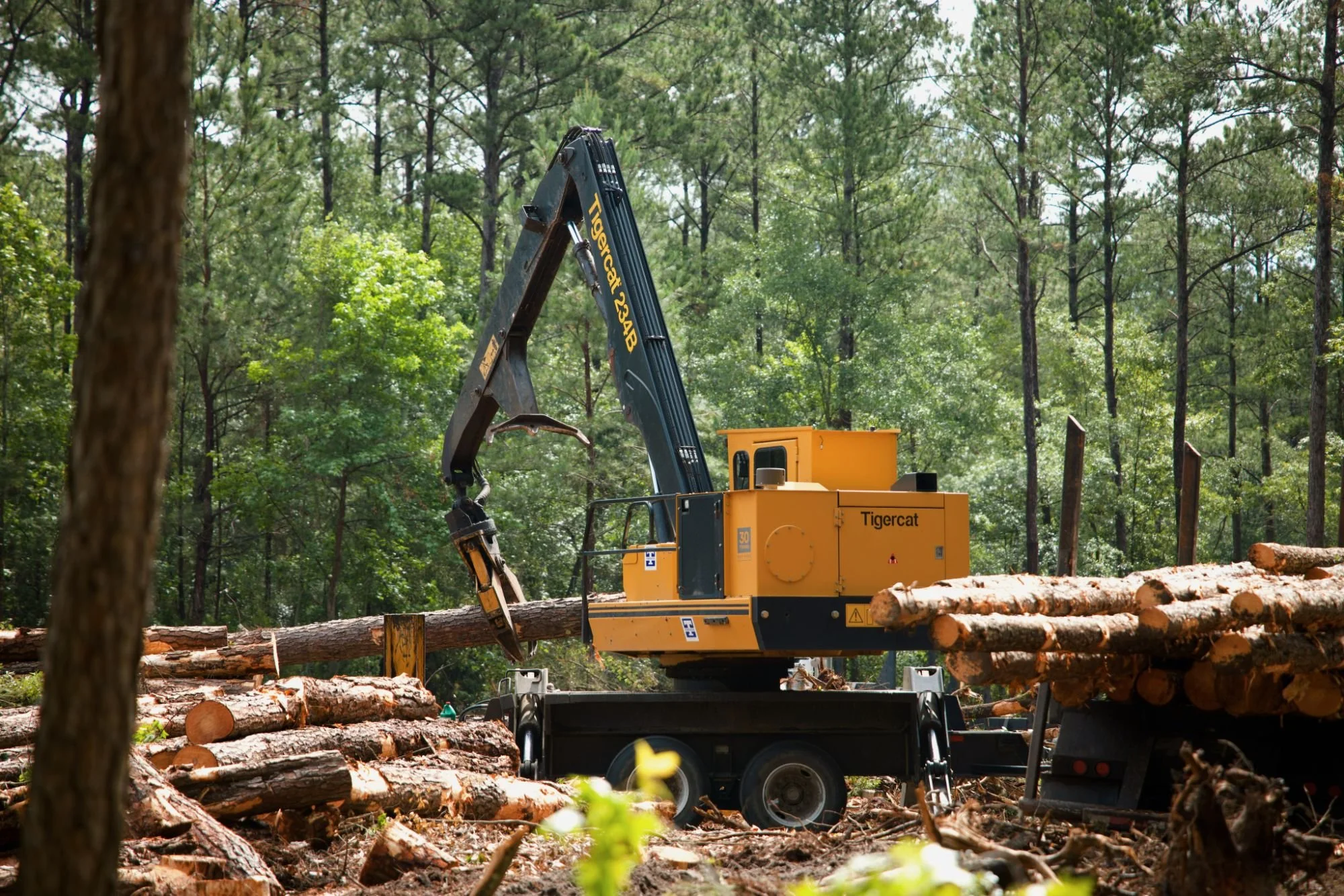
Timber & forestry operations
Accurate timber stand mapping is essential for modern forestry. Our maps clearly delineate stand boundaries, age classes, and species, providing the precise acreage calculations needed for accurate valuations, long-term harvest planning, and effective marketing to potential buyers.

Wildlife habitat management
We create detailed wildlife habitat maps that layer key features like food plots, water sources, cover types, and travel corridors. This allows you to visualize the entire ecosystem, identify habitat gaps, and strategically plan improvements for deer, quail, turkeys, and other species.

Prescribed burn
Safety and effectiveness are paramount concerns in any prescribed fire. Our maps form the basis of a professional burn plan, clearly outlining burn units, firebreaks, access points, and sensitive areas to ensure a safe, controlled, and successful execution.

Access & infrastructure
A well-planned road system is critical for a property’s usability. Using Digital Elevation Models (DEM), we design and map access routes that are efficient, sustainable, and minimize environmental disturbance, ensuring you can move through your property strategically for any operation.

Brokerage & marketing
When selling a property, professional marketing maps for land sales are one of your most powerful tools. We create compelling, presentation-quality maps that showcase the true assets of your land such as timber, recreational features, and infrastructure so that you can attract serious buyers and command a higher value.
Let’s build your legacy plan
Whether you are considering an acquisition, seeking to unlock your property's potential, or planning for the next generation, we are here to provide clear, strategic guidance. We look forward to talking with you!
Jason Hewett & the PLM Team

GIS mapping frequently asked questions

Q: What is GIS mapping and how does it benefit landowners?
A: GIS mapping creates highly accurate, layered maps that serve as a blueprint for managing your property. These maps provide the clarity and precision needed for all strategic planning, including:
Timber harvests and stand management
Food plot calculations and placement
Prescribed burn planning
Marketing your land for sale
Q: Why should I choose professional GIS mapping over free online tools?
A: You should choose professional GIS mapping for its superior detail, accuracy, and customization. Unlike free consumer tools, professional GIS allows for the creation of detailed attribute tables for long-term record-keeping. This is essential for serious, multi-year land management and is impossible with free software.
Q: How does GIS mapping improve timber sales?
A: GIS mapping improves timber sales by providing precise stand boundaries and acreage. This accuracy is essential for maximizing value and allows for:
More effective marketing to buyers
Precise harvest planning
Providing the professional data that buyers expect
Q: Can GIS mapping be used to market land for sale?
A: Yes, professional maps are one of the most powerful tools for marketing recreational and timberland properties. They clearly showcase key assets to buyers, such as:
Timber stands
Food plots
Road systems
Other improvements
This allows serious buyers to see the true, turnkey value of your property before they ever set foot on it.